Understanding Bathymetric Maps for Floating Solar Projects
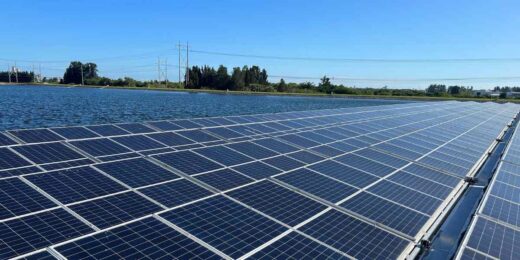
Bathymetric maps are important in the planning and installation of floating solar systems. These detailed underwater maps provide essential data about the depth, contours, and obstacles in a water body. By understanding the underwater ground, developers can select suitable locations and design systems that maximize efficiency while minimizing risks.
What Is a Bathymetric Map and Why Does It Matter?
Bathymetric maps are crucial tools for understanding underwater environments. These maps detail the topography of the water body floor, allowing developers to assess site suitability for floating solar systems. Accurate data from these maps reduces uncertainties and sets the foundation for successful installations.
Bathymetric Maps and Anchoring Stability
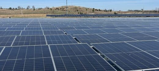
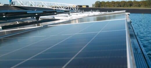
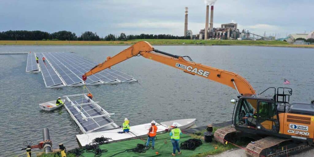
Now that we’ve covered “What is a Bathymetric Map?”, anchoring is one of the most important aspects of floating solar installations, and bathymetric maps ensure it is done effectively. Accurate mapping allows engineers to tailor anchoring solutions to the specific conditions of a site. Properly secured systems remain stable against currents and wind, preventing shifts that could lead to damage or operational failures. Without accurate data, anchoring solutions may be poorly designed, leading to a higher chance of costly problems.
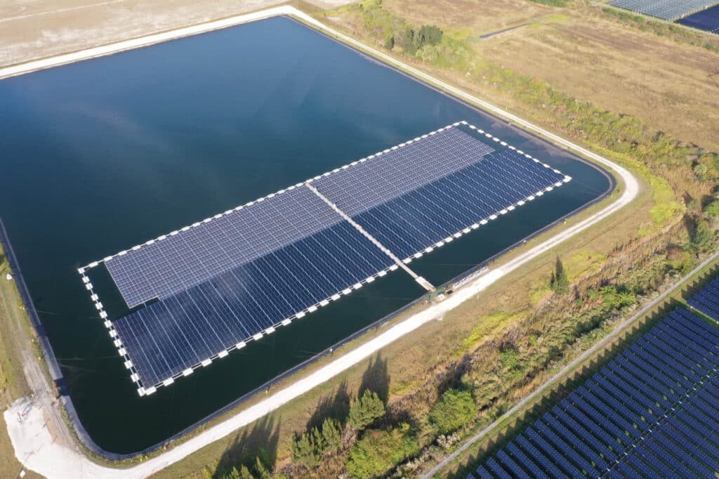
Site Selection Made Smarter with Bathymetric Maps
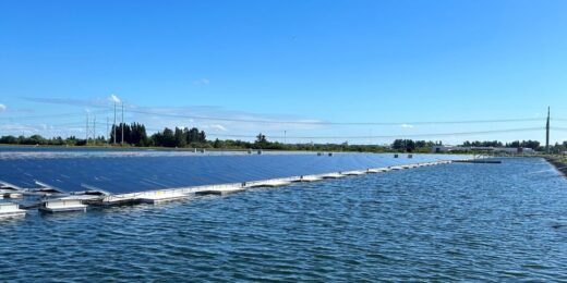
Bathymetric maps are also important in site selection. They help determine if a water body is appropriate for a floating solar system, identifying sufficient surface area, adequate depth, and potential challenges like sharp underwater slopes or sediment buildup. This upfront assessment reduces the risk of unexpected complications during installation and ensures cost-effective project execution.
The Role of Bathymetric Maps in Long-Term Maintenance
The insights provided by bathymetric maps go beyond installation. Over time, underwater conditions can change due to sediment movement or erosion. With accurate and regularly updated maps, developers can track these changes and take preventive measures to maintain system stability. Scheduled anchor inspections and adjustments based on bathymetric data help prolong the lifespan of the system and ensure consistent performance.
Optimizing Floating Solar Performance with Bathymetric Data
Maintenance and long-term optimization benefit from these maps by tracking underwater changes. They help developers spot issues like anchor wear or structural strain early, preventing larger problems. This reduces downtime and keeps the system running efficiently, maximizing energy output and return on investment.
Secure Your Floating Solar Future with Bathymetric Mapping
Incorporating bathymetric mapping into floating solar projects ensures secure anchoring, effective site selection, and sustainable performance over time. With detailed underwater insights, developers can confidently navigate challenges, optimize energy generation, and support the growing demand for clean, reliable solar energy.
Contact us to discover how our team can enhance your floating solar initiatives and contribute to a sustainable energy future.